Key insights:
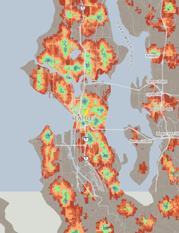
Close is an innovative tool that maps walkable, bikeable, and transit-friendly neighborhoods block by block across the entire US. It is a useful travel time map for people who want to be near the amenities that matter most to them.
On it, users can filter by access to amenities like grocery stores, schools, doctors’ offices, and coffee shops.
Close is built and maintained by Henry Spatial Analysis. For full access to the map, click here.


